

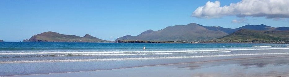


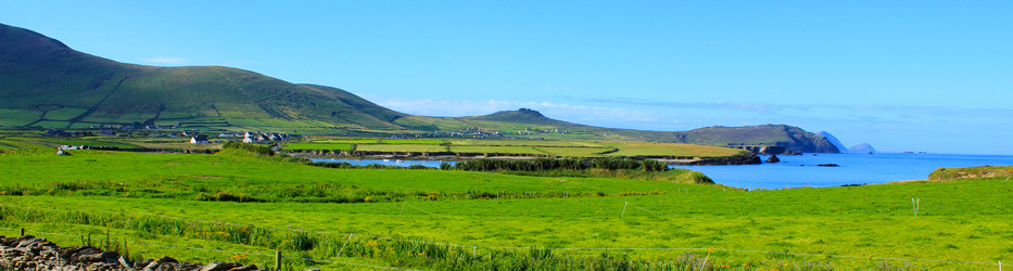
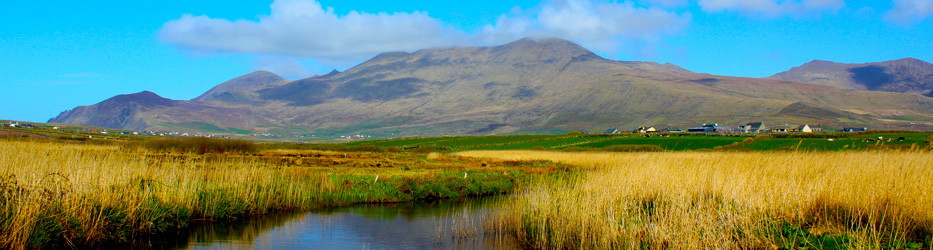
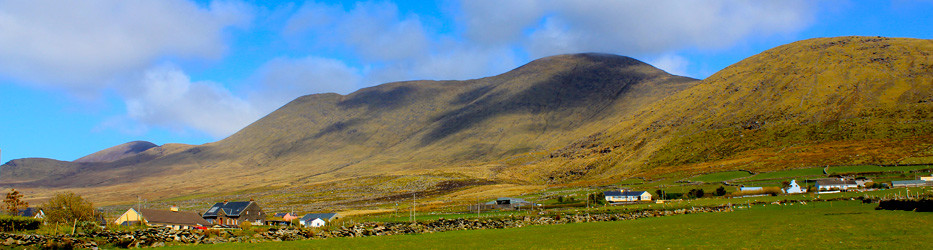
There are lots of walking and hillwalking routes in the locality that are easily accessible from Ferriter’s Cove Bed & Breakfast, including Mount Brandon, Mount Eagle and Cruach Mharthain (Croagh Marhin).
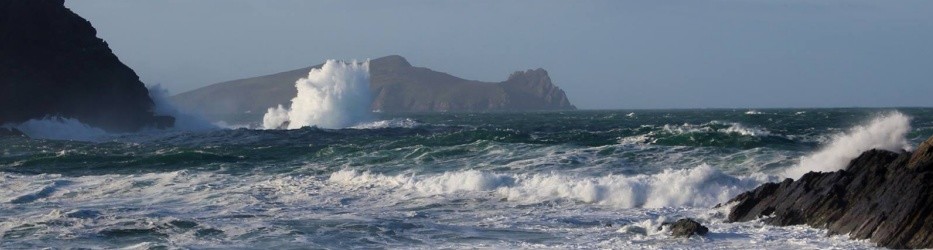
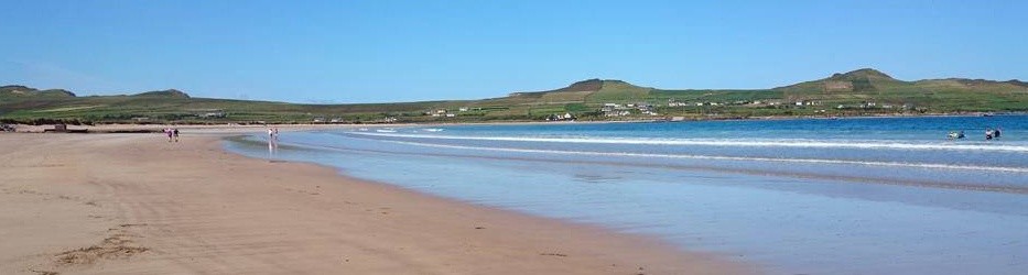
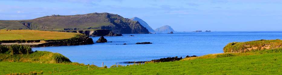
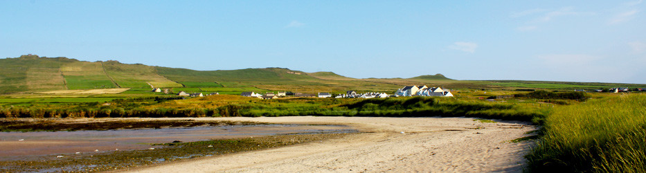
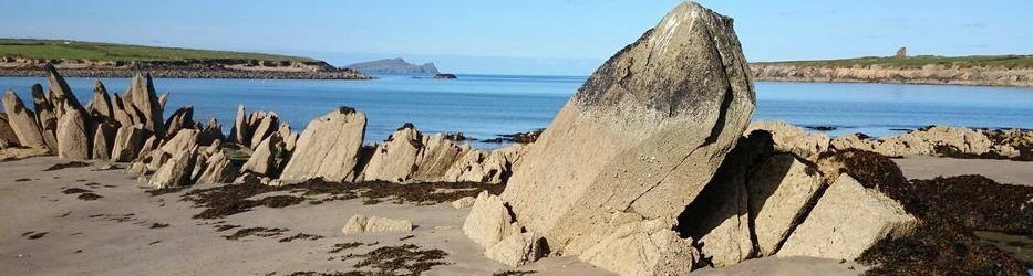
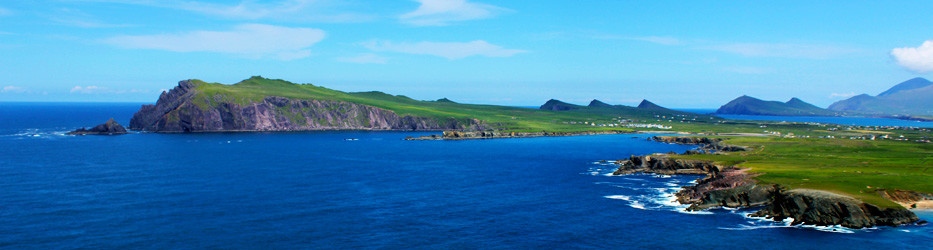
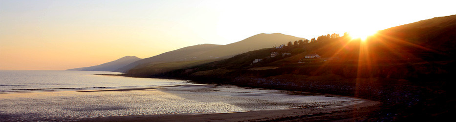
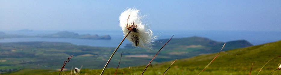
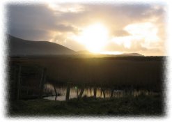
We are located just a short stroll from The Dingle Way Walking Trail and you can walk along this trail to the Wine Strand, one of the finest sandy beaches on the peninsula. The southern route of the Dingle Way will take you along cliffs to Clogher Beach, Clogher Head and Dunquin, with spectacular views of the wild Atlantic Ocean, Sibéal Head and the Blasket Islands.
 Many scenes from David Lean’s film ‘Ryan’s Daughter’ were shot in the area. The ruins of the school used in the movie can still be seen, just south of Clogher Head and traces of the village can be found on the slopes of Croagh Marhin. The nearby sandy beach at Coumeenole (unsafe for bathing) was also used in the movie “Ryan Daughter” and provides excellent view of the Blasket Islands.
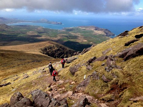
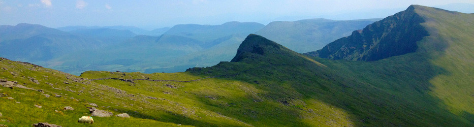
Along the majestic mountain range that makes up the Dingle Peninsula are numerous hills and mountains, which are suitable for climbing and hill walking. It was these mountains that produced the legendary Tom Crean who heroically accompanied Scott and Shackleton on their Antarctic expeditions.
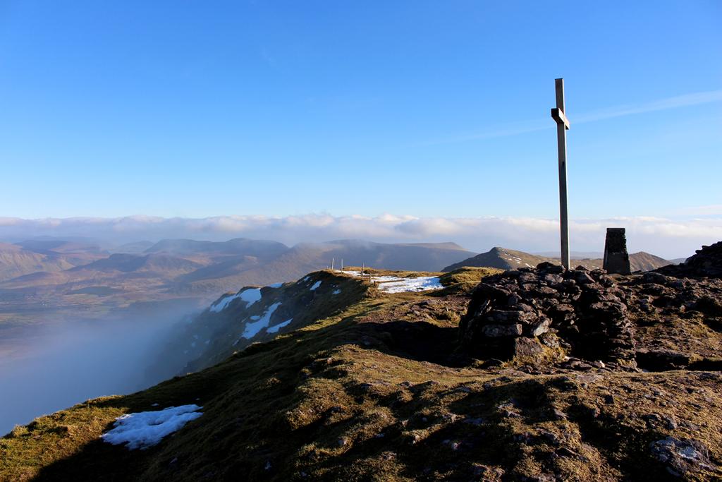
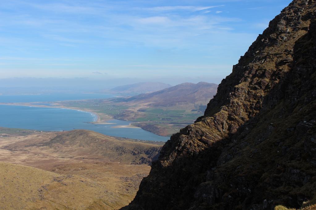
 The highest mountain on the Dingle Peninsula is Mount Brandon (the third highest mountain in Ireland, 950m), is a pleasant well marked hike if the “Saints Way” route is taken. Each year during Easter Week local people of all ages use this route on their annual pilgrimage to the top. After parking by the graveyard at Ballybrack follow the white posts and the Crosses to the top of Mount Brandon. The climb is easy but care should be taken at the top especially in low visibility with cloud or fog, as there is a steep cliff on the eastern face of the mountain. On the summit of Mount Brandon are the remains of an oratory that was built by St. Brendan the Navigator and his monks.
THE DINGLE WAY
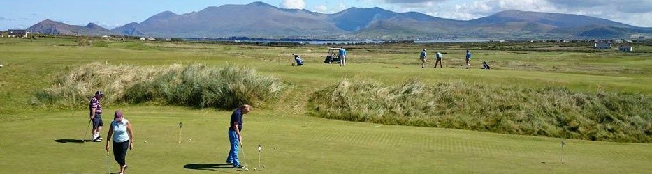
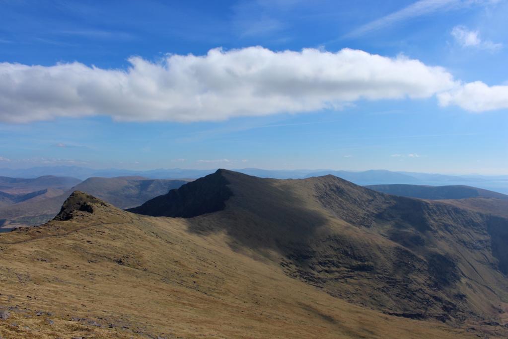
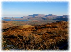
 The Dingle Way (about 179km), is a long distance walking route around the Dingle Peninsula. The route passes within yards of the Dún An Óir holiday cottages before going behind Ceann Sibéal Golf Club and on to the Wine Strand. A spectacular part of the Dingle Way is the section between Brandon Creek (from where it is said that St. Brendan left to discover America) and Brandon village as it passes through the mountains between Mount Brandon and Masatiompan (762m). On a clear day there are panoramic views of the Skelligs, The Three Sisters, Ballydavid Head, Ceann Sibéal and the Blasket Islands as one walks along the old military road to the top.
A couple of hundred yards from the top there is a rocky outcrop on the left which when shouted at will echo your voice back at you. At the highest point on this section of the Dingle Way there is an Ogham Stone with spectacular views of Tralee Bay, North Kerry, the Magillycuddy Reeks and the Iveragh Peninsula.
Precautions:
- Do not go into the mountains on your own. If you do, tell someone where you are going and your estimated time of return. Always report on your return.
- A map, compass, whistle and mobile phone should be taken with you. In the event of an emergency dial 999 or 112 and ask for Mountain Rescue, Ambulance, etc.
- Wear proper footwear, preferably waterproof boots with ankle support and good socks.
- Bring fully waterproof top and leggings (not just shower proof). Rain in the mountains can be persistent and very cold.
- Adequate food should be taken.
- Take plenty of thin layers of clothing to add or subtract depending on conditions.
Some Walking Routes on the Dingle Peninsula
- Cosán na Naomh (The Saint’s Road)
- The Dingle Way
- Lúb na Cille
- The Great Blasket Island
- The Maharees
- Glanteenassig Wood
- Annascaul Glen
- Slí na Sláinte, Daingean Uí Chúis